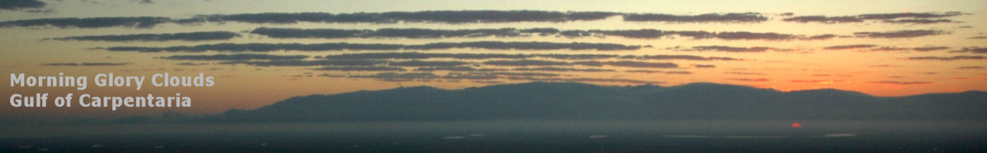

Burketown, Gulf of Carpentaria
This article is at the Burke Shire Council site.
See also: 'History of Burketown' in CSIRO div report 59/2, Historical Geographic Survey of Part of Northern Aust. Part I, Eastern Gulf of Carpentaria. F H Bauer, Canberra, Dec 1959.
Wetlands of Burke Shire and the Gulf Savannah
Some 30km south-west of Burketown is a large wetland area known as Bluebush Swamp, which is something of a birdwatchers paradise. It consists of areas of shallow free water and is dominated by Acacia stenophylla shrub. It looks quite spectacular from the air, and would be well worth a visit. The co-ordinates are available at The Wetlands Site The largest perennial stream in arid and semi-arid Queensland is the Gregory River, characterised by a forested wetland on its upper reaches. The area encompasses the nationally significant Riversleigh fossil beds associated with the Coal Creek Limestone formation. Lignum Swamp is part of an extensive plain drained by intermittent streams of the Carpentaria drainage system. It is vegetated with gidgee Acacia cambagei and lignum Muehlenbeckia cunninghamii. Marless Lagoon and Musselbrook Creek Aggregation: Forested wetlands on upland margins grading into shrubby wetland in shallow waters, dominated by Acacia stenophylla and Eucalyptus microtheca and with areas of open water or macrophytes. The wetlands are characterised by Acacia stenophylla communities - such swamps are localised in their occurrence and apparently restricted to the north-west part of the Gulf Savannah. Nicholson Delta Aggregation: The Nicholson, Gregory and Albert Rivers flow from the North West Highlands into the Gulf of Carpentaria immediately to the north-west of Burketown and flood out on the Karumba Plain, resulting in a freshwater wetland merging with an extensive estuarine system to form a rich complex of wetland habitats. There are deep permanent lagoons, oxbows as well as channels (one of which appears man-made: information anyone?) Wentworth Aggregation: Gold and Settlement Creeks originate in the adjacent North West highlands and drain northwards into the Gulf of Carpentaria, north-west of Burketown. The freshwater wetlands may vary in depth from several metres and range from seasonal to permanent. Tidal creeks vary with flooding and tides to c.5m. The area represents an alluvial and estuarine wetland system typical of the area, and is of high wilderness quality. Refugia The composite Gregory and Nicholson River wetlands are recognised as a refuge. Wellesley Islands deserve further investigation. (An article has been published in Australian Geographic on Sweers Island, 12/97) Wetlands Waterways and Waterbirds
home | sitemap | aviation topics Copyright © 1997-2026 dropbears |